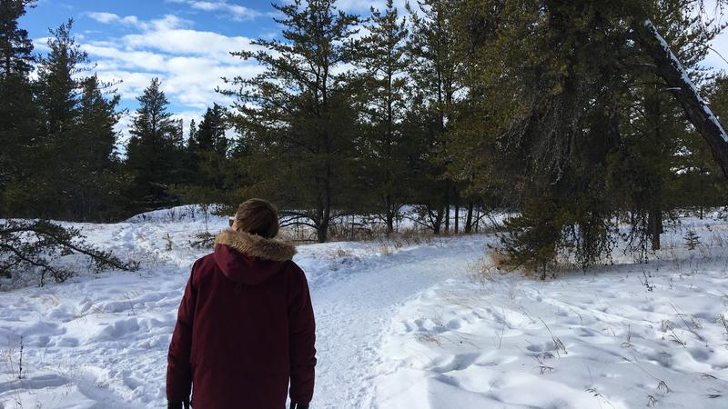
A big ridge of high pressure continues to bring mild conditions to parts of Western Canada including Saskatchewan.
Environment Canada meteorologist Terri Lang said the nice conditions are expected to last for at least the next 10 days.
She said Prince Albert and area is on the north side of the high-pressure ridge, which happens to be on the mild side of the jet stream.
“When its to our south, we’re in the colder air and when its to the north we’re in the milder air. So, for whatever reason, that weather pattern is stuck and we’ve been in this warm air for a number of weeks and it doesn’t look like it will change in the near term either,” Lang said.
Averages for this time of year usually sit around -14 C for highs and -24 C for overnight lows. This week’s forecast is calling for highs around -1 C and lows of about -11 C. Lang said the area is also drier than average, but there is some precipitation on the way.
“We are seeing a weather system moving through on Tuesday and that looks to bring snow to many parts of Central Saskatchewan – probably two to five centimetres accumulating with that as well.”
While the conditions are running well above average for this time of year, we likely won’t see any records broken. Monday’s forecasted high of -4 C comes nowhere near the 7.2 C record set on the same day in 1984.
Lang reminded the public to be weary of roads especially when everything melts during the day and then freezes overnight.
“People need to pay attention to black ice, particularly in the morning and with tomorrow’s snow, it could make for mucky conditions,” Lang said.
She encouraged drivers to check the provincial highway hotline before heading out.
—
On Twitter: @princealbertNOW


